


My Colombier

kipoura
User
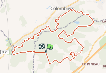

Length
15.6 km

Max alt
157 m

Uphill gradient
168 m
Km-Effort
17.9 km

Min alt
123 m

Downhill gradient
168 m
Boucle
Yes
Creation date :
2021-11-22 16:12:48.689
Updated on :
2021-11-22 16:59:05.425
4h03
Difficulty : Medium
1h20
Difficulty : Easy
1h14
Difficulty : Easy

FREE GPS app for hiking
 SityTrail
IGN / Geographical institutes
SityTrail Plus
The world is yours!
About
Trail Walking of 15.6 km to be discovered at New Aquitaine, Vienne, Beaumont Saint-Cyr. This trail is proposed by kipoura.
Description
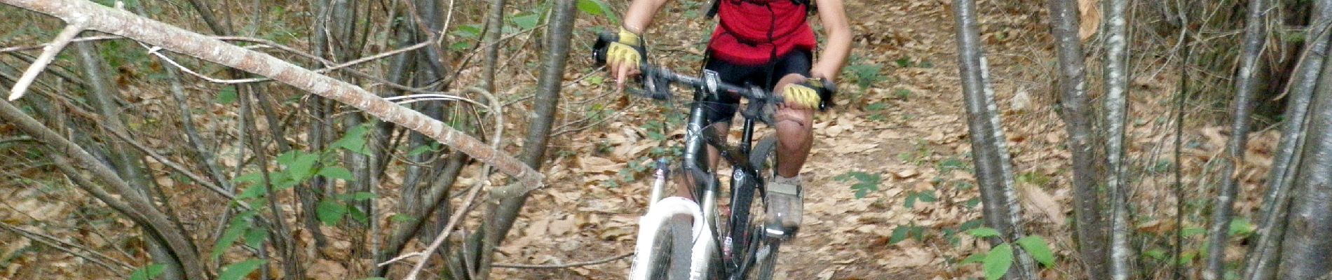
Circuit Trail/Rando/VTT de 16 km dans les bois de Colombiers.
Photos


Positioning
Country:
France
Region :
New Aquitaine
Department/Province :
Vienne
Municipality :
Beaumont Saint-Cyr
Location:
Beaumont
Start:(Dec)
Start:(UTM)
302665 ; 5181076 (31T) N.
Comments